Use prescribed fire to control problematic plants: freshwater marshes
-
Overall effectiveness category Trade-off between benefit and harms
-
Number of studies: 4
View assessment score
Hide assessment score
How is the evidence assessed?
-
Effectiveness
50% -
Certainty
45% -
Harms
20%
Study locations
Supporting evidence from individual studies
A replicated, randomized, controlled study in 1992 in an ephemeral freshwater marsh in Missouri, USA (Laubhan 1995) found that summer-burned plots (but not spring-burned plots) contained fewer plant species and had lower vegetation cover than unburned plots. Vegetation was surveyed at the end of September. Unburned plots contained 4.6 plant species/m2 and had 92% total vegetation cover. The most abundant plant species included fox sedge Carex vulpinoidea (cover: 28%; frequency: 60%), marsh elder Iva ciliata (cover: 25%; frequency: 100%), ricecut grass Leersia oryzoides (cover: 17%; frequency: 50%) and beggarticks Bidens spp. (cover: 12%; frequency: 100%). Spring-burned plots had statistically similar plant species richness (5.5 species/m2) and total vegetation cover (94%) to the unburned plots, but were dominated by ricecut grass (cover: 50; frequency: 97%) and beggarticks (cover: 31%; frequency: 100%). Summer-burned plots had significantly lower plant species richness (2.8 species/m2) and lower total vegetation cover (23%) than the unburned plots. The most abundant plant species in summer-burned plots were ricecut grass (cover: 5%; frequency: 97%) and sesbania Sesbania exaltala (cover: 5%; frequency: 70%). Methods: Nine 0.1-ha plots were established in a freshwater marsh managed for waterfowl (i.e. winter flooding followed by spring or summer drawdown). Three random plots received each treatment: spring burning (April 1992), summer burning (July 1992) or no burning. In the summer-burned plots, vegetation was mown three days before burning. Cover of every plant species, and bare ground, were recorded in September 1992 in ten 1-m2 quadrats/plot.
Study and other actions testedA study in 1998–2003 in a degraded floodplain marsh in the Northern Territory, Australia (Paynter 2004) reported that following herbicide application, physical damage and prescribed burning to control invasive mimosa Mimosa pigra, some herbaceous plants recolonized the site along with mimosa. After one year, cover of all vegetation other than mimosa was approximately 31–80%. This included 12–45% total cover of grasses/sedges. Mimosa cover was approximately 0–17%, depending on the area within the marsh. The number of new mimosa seedlings each year declined over time, from 1 seedling/m2 in the first year after intervention was complete, to <0.5 seedlings/m2 in the second and third years, then 0 seedlings/m2 in the fourth year. Methods: Three interventions were applied to a 100-ha patch of mimosa-dominated floodplain. In April 1998, the site was sprayed with herbicide (metsulfuron methyl). In October 1999, the dead vegetation was crushed using a chain tied between two bulldozers, then the site was burned (fire lasting several days). The study does not distinguish between the effects of these interventions. Vegetation was surveyed in the dry season (July–October), in up to three areas of the marsh (where no vegetation had been introduced) and for up to four years after intervention was complete.
Study and other actions testedA replicated, randomized, paired, controlled study in 2000–2004 in two wet meadows invaded by reed canarygrass Phalaris arundinacea in Minnesota, USA (Reinhardt Adams & Galatowitsch 2006) found that prescribed burning had no significant effect on vegetation biomass, 2–3 growing seasons after the last burn. Vegetation biomass was statistically similar in burned and unburned plots. This was true for total biomass of non-canarygrass species (both sown and non-sown) and for canarygrass itself (data not reported). Burning did, however, have a short-term effect on canarygrass density. After four weeks, burned plots contained more canarygrass shoots (1,180 shoots/m2) than unburned plots (520 shoots/m2). Methods: In the early 2000s, one hundred and sixty 25-m2 plots were established, in 40 sets of four, across two canarygrass-invaded wet meadows. Eighty plots (20 random sets) were burned in mid-May, for either one or two years. The remaining 80 plots were not burned. Three-quarters of the plots under each burning treatment were also sprayed with herbicide later in the year. All plots were sown with a mixture of grass and forb seeds in the year after the final burn. Dry above-ground biomass samples were taken in August in the two years after burning.
Study and other actions testedA controlled, before-and-after study in 1998–2004 in an ephemeral freshwater marsh in Costa Rica (Trama et al. 2009) reported that burning and crushing stands of invasive southern cattail Typha domingensis reduced the total vegetated area and vegetation cover, but increased plant species richness. Unless specified, statistical significance was not assessed. In the wet season before intervention, live vegetation stands covered 98–99% of the study plots. In a managed plot, this dropped to 68% after five months (wet season) then 23% after eight months (dry season). Over the same period, the coverage of southern cattail stands dropped from 61–62% to 52%, then to 7%. In an unmanaged plot, coverage remained ≥98% for live vegetation and 63–66% for cattail. After 11–22 months, the managed plot had lower cover of live vegetation, along transects, than the unmanaged plot (managed: 17–90%; unmanaged: 88–100%). The same was true for cattail cover (managed: 5–38%; unmanaged: 75–100%). Finally, the managed plot contained more plant species, both overall (managed: 61; unmanaged: 20 species/plot) and within transects (managed: 12; unmanaged: 4 species/300 m2). Methods: Two 80-ha plots were established in a cattail-dominated marsh. From September 2002, cattail stands in one of the plots were burned when dry and/or crushed when wet (by driving over them in a tractor with large paddle wheels). The study does not distinguish between the effects of these interventions. Both plots had been rewetted in July. Vegetation stands were mapped from aerial photographs or satellite images taken before (December 1998) and after (November 2002, March 2003) intervention. Detailed vegetation surveys, along six 25 x 2 m transects/plot, were carried out between August 2003 and July 2004.
Study and other actions tested
Where has this evidence come from?
List of journals searched by synopsis
All the journals searched for all synopses
This Action forms part of the Action Synopsis:
Marsh and Swamp Conservation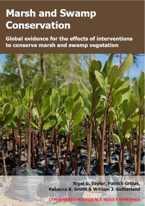
Marsh and Swamp Conservation - Published 2021
Marsh and Swamp Synopsis



)_2023.JPG)
